Fleury-les-Aubrais Centre
 English
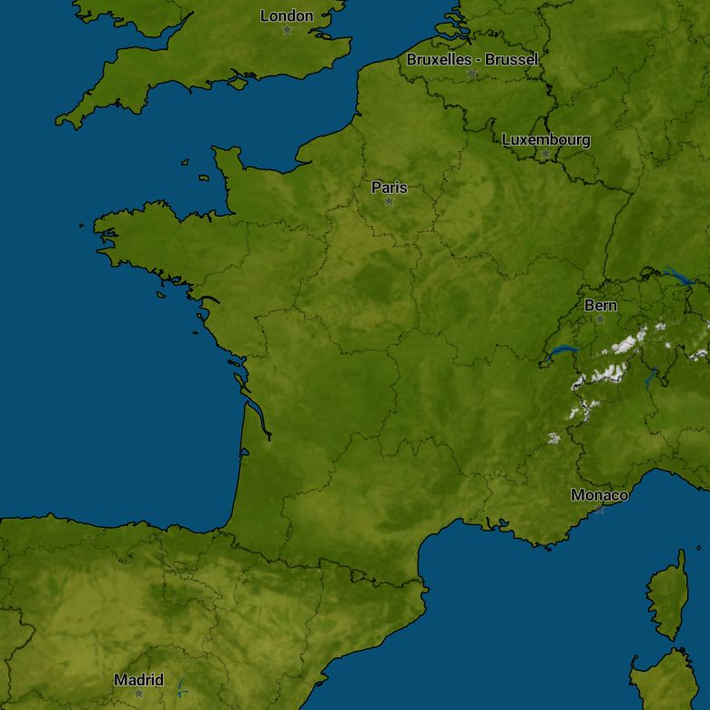
Fleury-les-Aubrais
Sun Fleury-les-Aubrais


Current weather
Sunshine Fleury-les-Aubrais
Sunrise and sunset
| Date | Percent | UV-Index | Sun rise | Sun set |
|---|---|---|---|---|
|
Sunday Sun 28 |
|
UV 8 |
05:55 |
21:55 |
|
Monday Mon 29 |
|
UV 8 |
05:55 |
21:55 |
|
Tuesday Tue 30 |
|
UV 8 |
05:56 |
21:55 |
|
Wednesday Wed 1 |
|
UV 7 |
05:56 |
21:55 |
|
Thursday Thu 2 |
|
UV 7 |
05:57 |
21:55 |
|
Friday Fri 3 |
|
UV 7 |
05:58 |
21:54 |
|
Saturday Sat 4 |
|
UV 7 |
05:58 |
21:54 |